Written by Joanne
Taos Ski Valley is famous for its world-class skiing, but summer here is just as breathtaking. A scenic 30-minute drive from the historic Taos Plaza winds you up into the Sangre de Cristo Mountains, where the Williams Lake Trail begins right at the resort.
The Hike
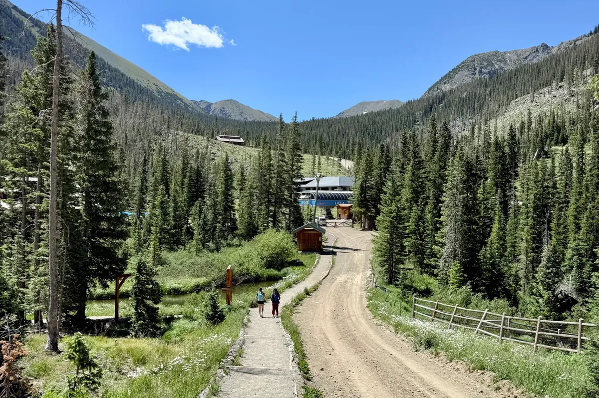
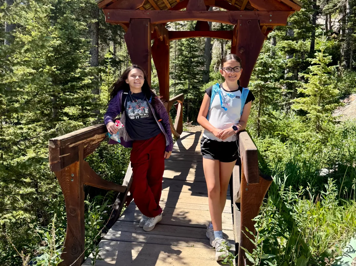
On a recent summer day, Kaitlyn and I set out on this hike with our friends Emily and Rosalie — a moderate out-and-back, about two miles in and two miles out. Bathrooms are located in the parking lot right before you head up, which is convenient for a quick stop. From the parking lot you walk along a road that leads to the base of the chairlift, where the trail begins its ascent.
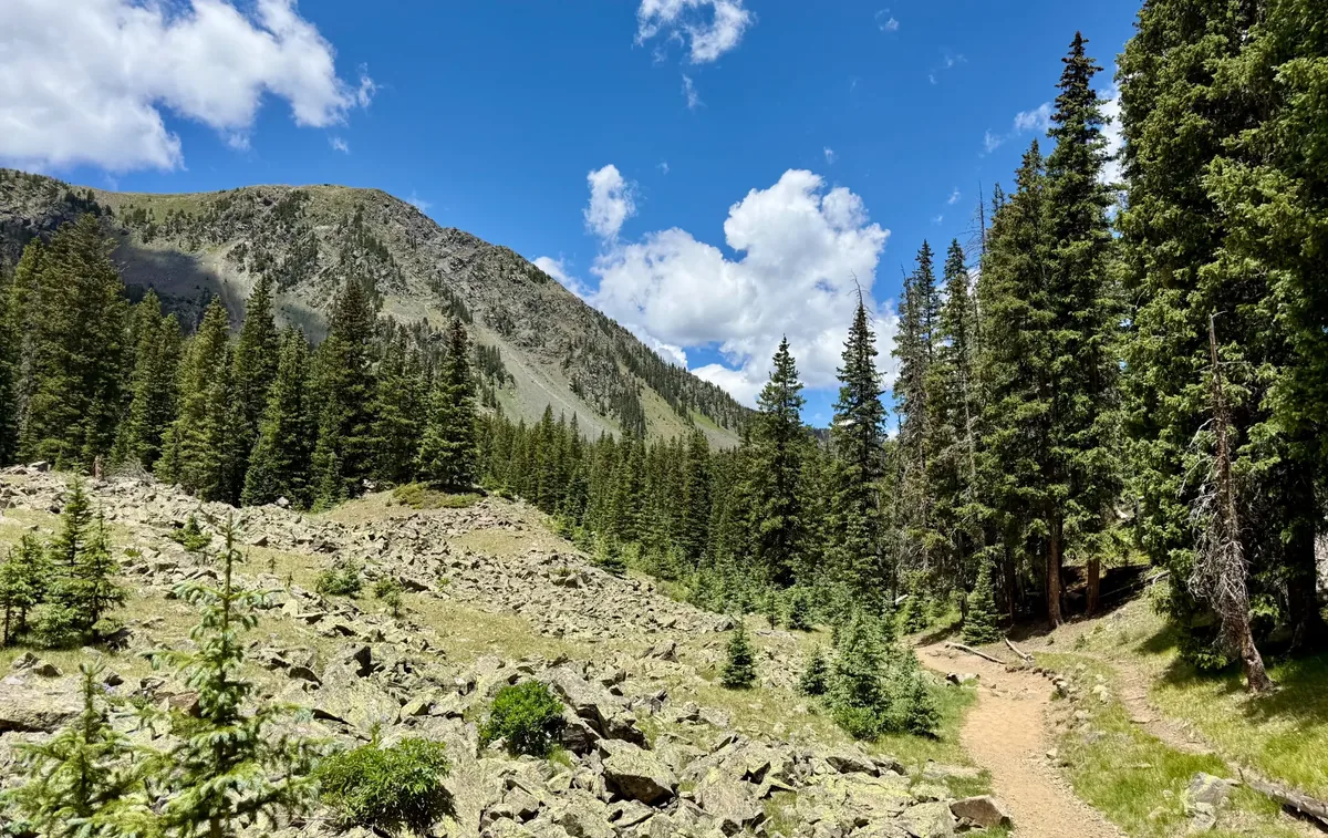
The path starts among tall pines and streams tumbling down the mountain, then moves through varied terrain that includes sections of jagged rock where careful footing is essential. The climb is gradual, so hiking poles are helpful for balance but not required.
The Payoff: Williams Lake
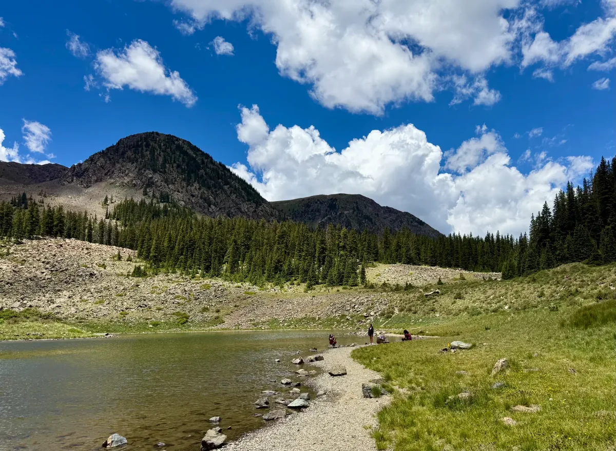
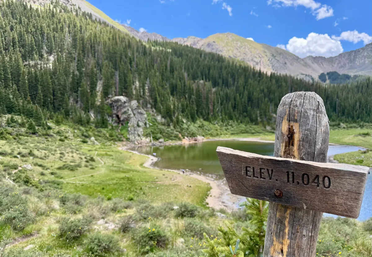
After roughly two miles the trees open and Williams Lake appears: clear alpine water framed by cliffs and pines. We paused at the shoreline, breathed in the fresh mountain air, and let the sun warm our faces. The girls kicked off their shoes and waded in the cool shallows — one of those simple, perfect moments that make the effort worthwhile. Pack a lunch if you'd like to enjoy some time at the lake; it's a lovely spot to linger.
Want More? Wheeler Peak Awaits
If you're really adventurous, you can continue on from Williams Lake to the longer hike up Wheeler Peak — New Mexico's highest summit at 13,161 feet. That route takes more time and preparation, so we'll share our experience of that hike another day.
Tips Before You Go
- Carry plenty of water. The altitude and dry air sneak up on you — more than you think you'll need.
- No cell signal on the trail. We relied on our Poclink radios, which work completely off-grid with essentially unlimited range. Knowing we could reach each other at any moment gave real peace of mind. (We'll have a full review of the Poclink radios on our Gear page soon.)
- Good tread on your shoes is a must for the rocky stretches — trail runners or hiking boots, not sandals.
- Bathrooms are in the parking lot before you head up — use them.
- Pack a lunch. The lake is a great place to sit and eat before heading back.
- Start early. Afternoon thunderstorms are common in the mountains during summer. Aim to be back at the trailhead by early afternoon.
Before or After: Stop at The Bavarian
Before or after the hike, stop at The Bavarian restaurant at the base of the lift. Their soft pretzel is excellent — worth the stop whether you're fueling up before the climb or celebrating a successful day on the trail.
The Verdict
Williams Lake delivers accessible mountain scenery with a beautiful payoff. The trail is challenging enough to feel like a real accomplishment, but manageable for kids and adults of most fitness levels. If you're looking for a moderate hike that feels like a true high-country escape, this one belongs on your Taos list.
— Joanne
Keep Exploring
More real stories are grouped by activity and destination.
Explore Hiking & Backpacking →